


Description
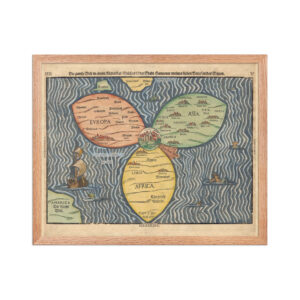
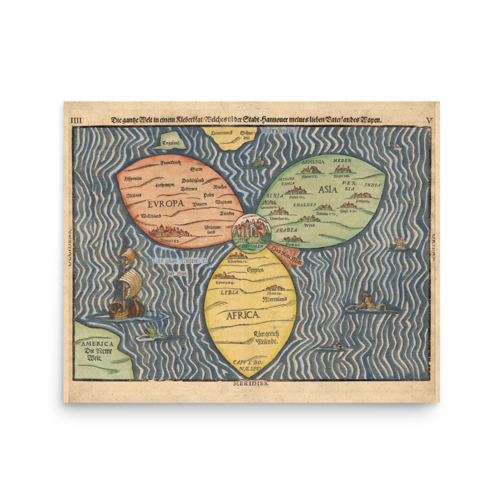
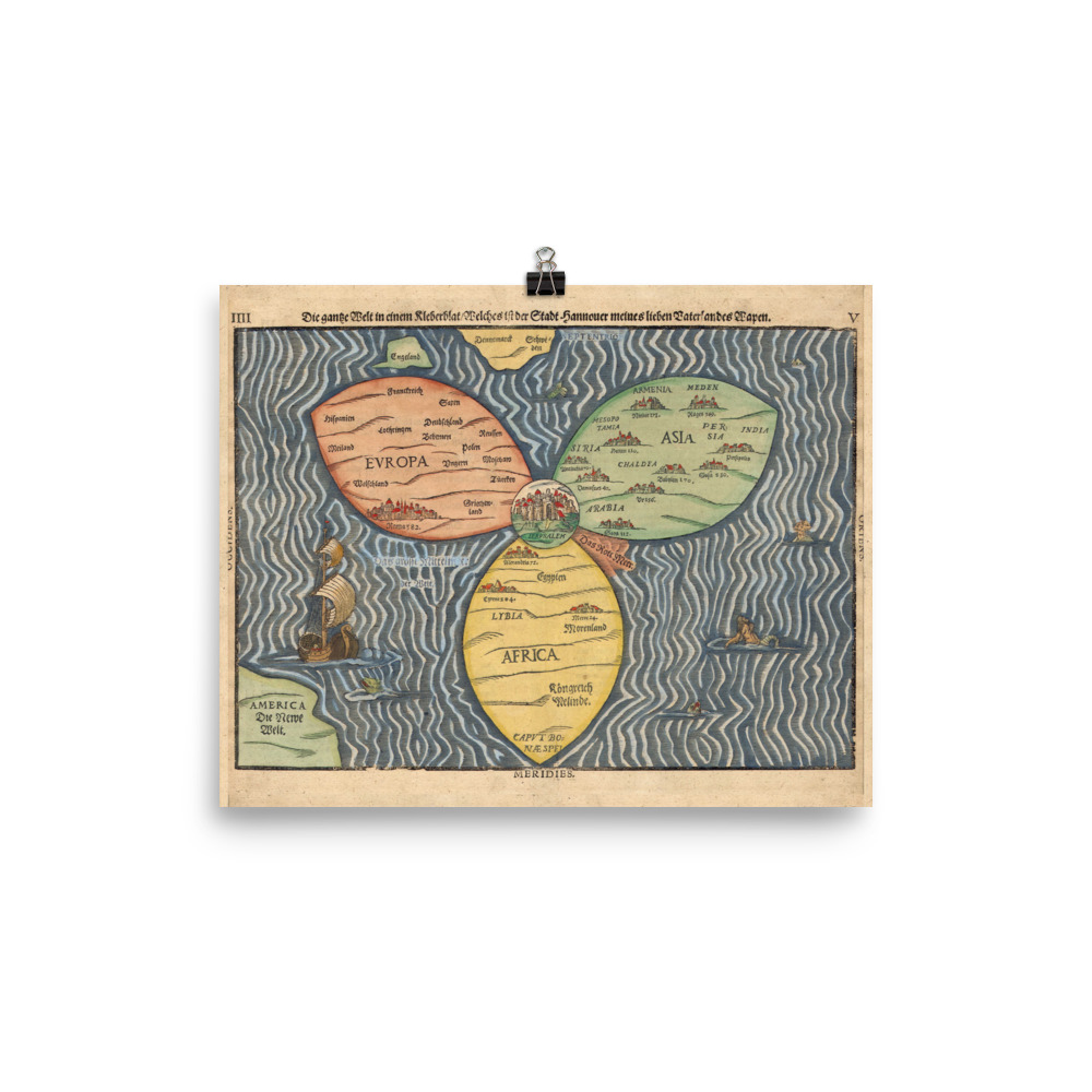
An example of sacred geography, this map from, Travel Book of Holy Scripture (1581) placed Jerusalem in the middle of the old world, with Europe, Africa, and Asia each a clover leaf.
America is depicted as a blob in the corner, unknown to the old world geography that would soon change.
Also known as the Bünting Cloverleaf Map, (German title: The World in a Cloverleaf, “Die ganze Welt in einem Kleberblat/Welches ist der Stadt Hannover meines lieben Vaterlandes Wapen”) this historic mappa mundi was drawn by the German Protestant pastor, theologian, and cartographer Heinrich Bünting, who published it in his 1581 book Itinerarium Sacrae Scripturae (Travel Book of Holy Scripture).
*
This print is a powerful way to elevate your space, allowing you to contemplate on the meaning of the map’s sirens, beasts, ships, cities, and the red sea.
The artwork stands out from any angle as the matte museum-quality paper diffuses the light.
• Paper thickness: 10.3 mil
• Paper weight: 5.57 oz/y² (189 g/m²)
• Giclée printing quality
• Opacity: 94%
• ISO brightness: 104%