

Description
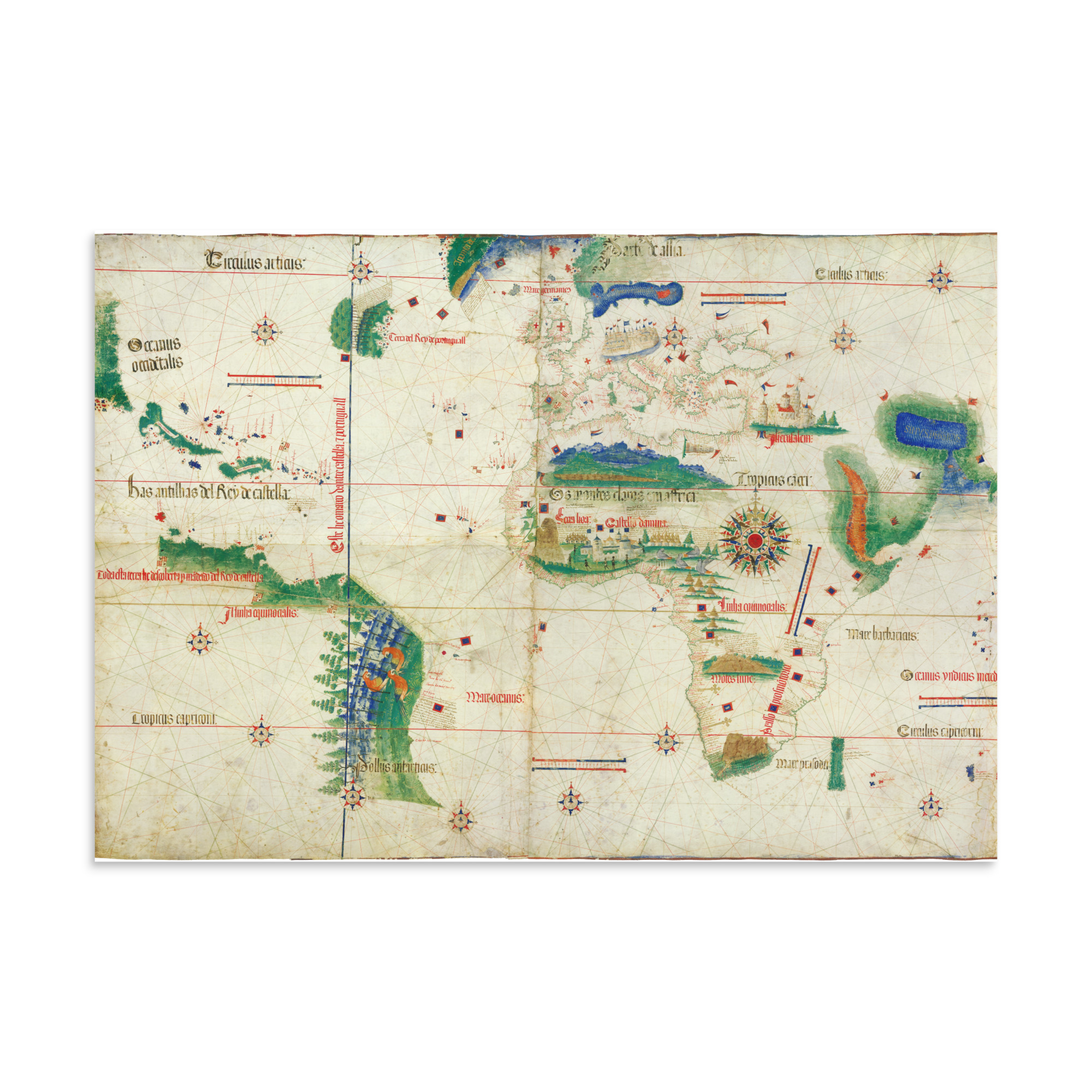
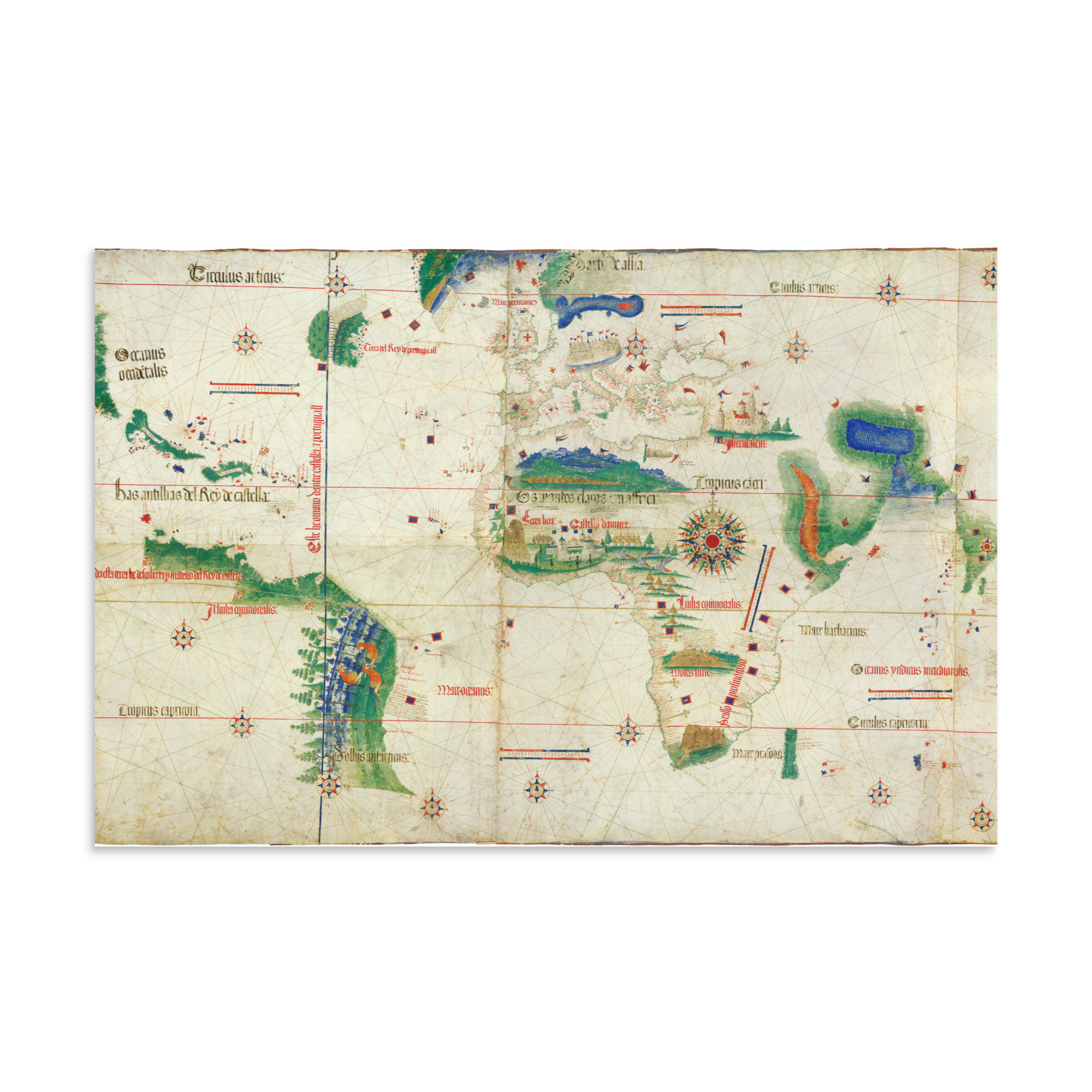
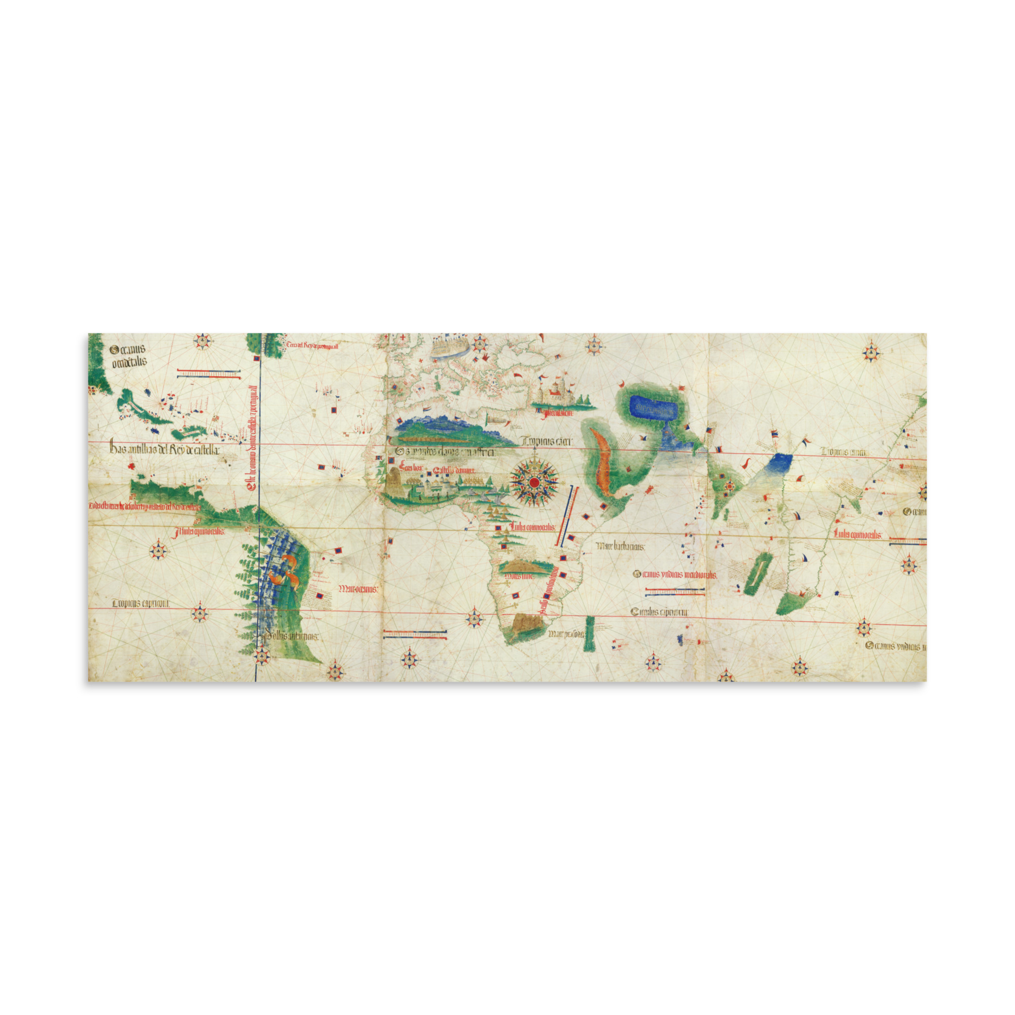
The Portuguese Empire’s 1502 world map, the El Planisferio de Cantino or Cantino Planisphere, includes the oldest-known graphic representation of the papal line of demarcation established in the Treaty of Tordesillas: the vertical blue line cutting through modern-day Brazil that allotted the west of the globe to the Spanish Empire, and the east of the globe to the Portuguese. The cartographer is unknown.
In the detail of West Africa is a prominent illustration of El Mina Castle, also known as El Castelo de São Jorge de Mina, or “The Mine.” Founded in 1482 as a trading post, the castle soon became Portugal’s main detention center for kidnapped Africans being trafficked as property to Abya Yala (the Americas). West Africa is the only place on this map where human figures appear.
This map print is of museum-quality on thick matte paper.
• Paper thickness: 10.3 mil
• Paper weight: 189 g/m²
• Opacity: 94%
• ISO brightness: 104%
• Paper is sourced from Japan