

Welcome to my website, the place where you can best learn about me.

Check out my new book, Palestine 1492: A Report Back (Wild Ox Books) and a volume I helped edit, the Fourth World War: Zapatista Writings on Global Capital (Paliacate Press).

Visit my illustrations, writings, lectures, interviews, and translations.

Stay in touch by subscribing to my free newsletter or by sending a direct message.

Looking forward to weaving in,

  /    /  Prints, Vintage Maps  /  Maya territory before borders

Maya territory before borders

Price range: $30.00 through $70.00

Info
SKU: N/A Categories: ,

Description

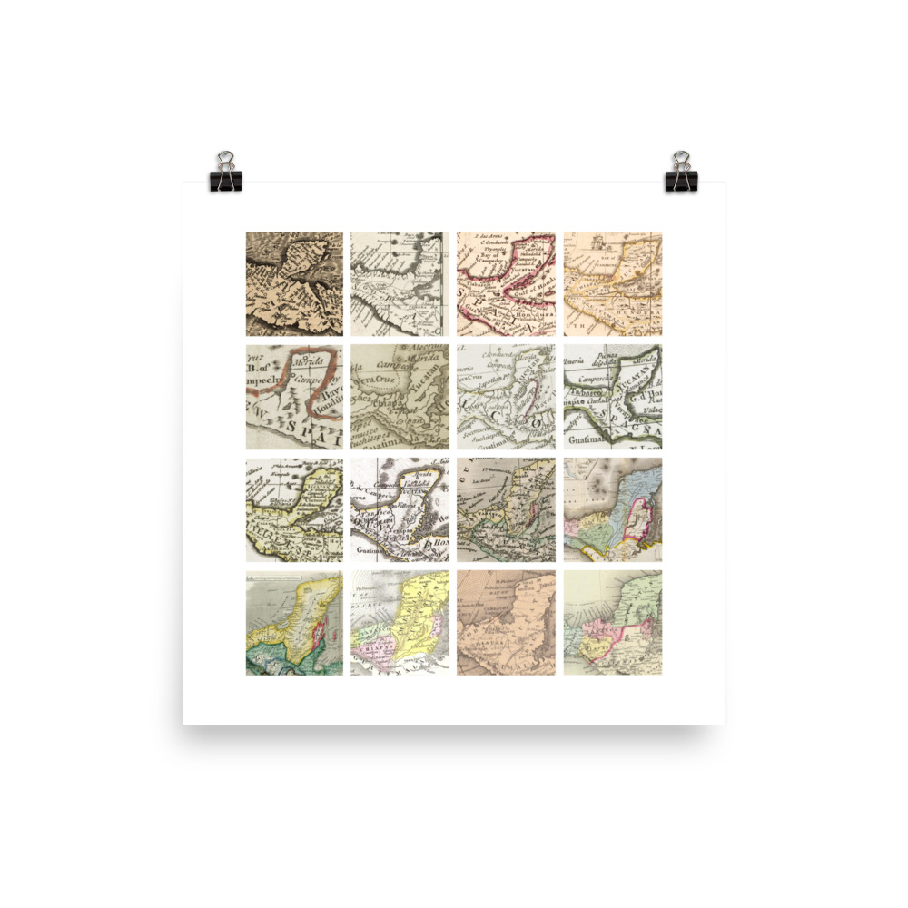
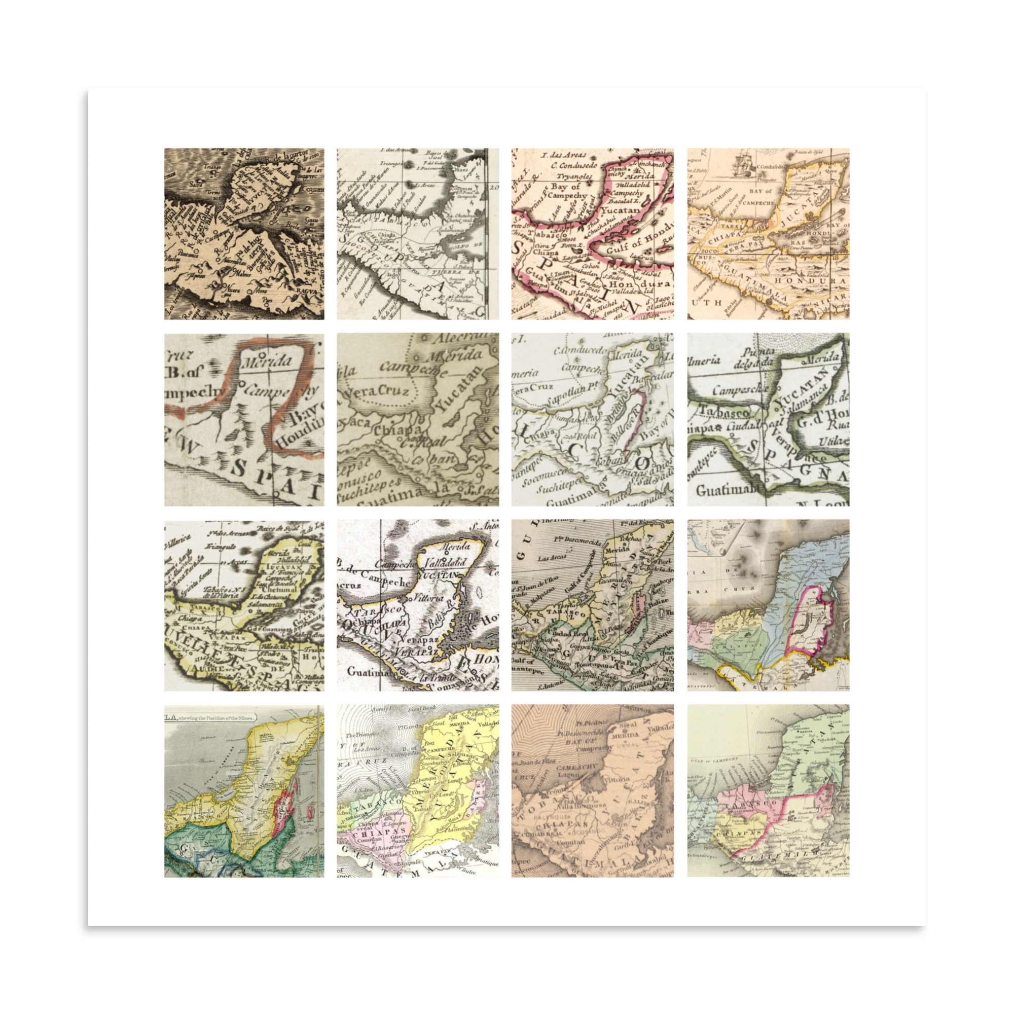
Details from colonial maps (1562–1890) showing Maya territory, mostly as depicted before the Mexico/Guatemala border was cut in 1882.

Left to right, top row: Diego Gutierrez, 1562; Vincenzo Coronelli, 1688; Herman Moll et al., 1715; Henry Popple and Samuel Harding, 1733. Second row: Thomas Jefferys, 1750s; John Lodge, c. 1770; Samuel Dunn and Robert Sayer, 1774; Antonio Zatta e figli, 1785. Third row: Jan Barend Elwe, 1792; Ambrose Tardieu, 1809; James Wyld, 1838; John Disturnell, 1847. Fourth row: James Wyld, 1848; Carl Christian Franz Radefeld, 1850; G.W. Colton 1856; Samuel Mitchell, 1890.

This is a museum-quality print made on thick matte paper.

• Paper thickness: 10.3 mil
• Paper weight: 189 g/m²
• Opacity: 94%
• ISO brightness: 104%
• Paper is sourced from Japan
Additional information

Weight N/A

Reviews

There are no reviews yet.

Be the first to review “Maya territory before borders”

Your email address will not be published. Required fields are marked *

This site uses Akismet to reduce spam. Learn how your comment data is processed.