


Description
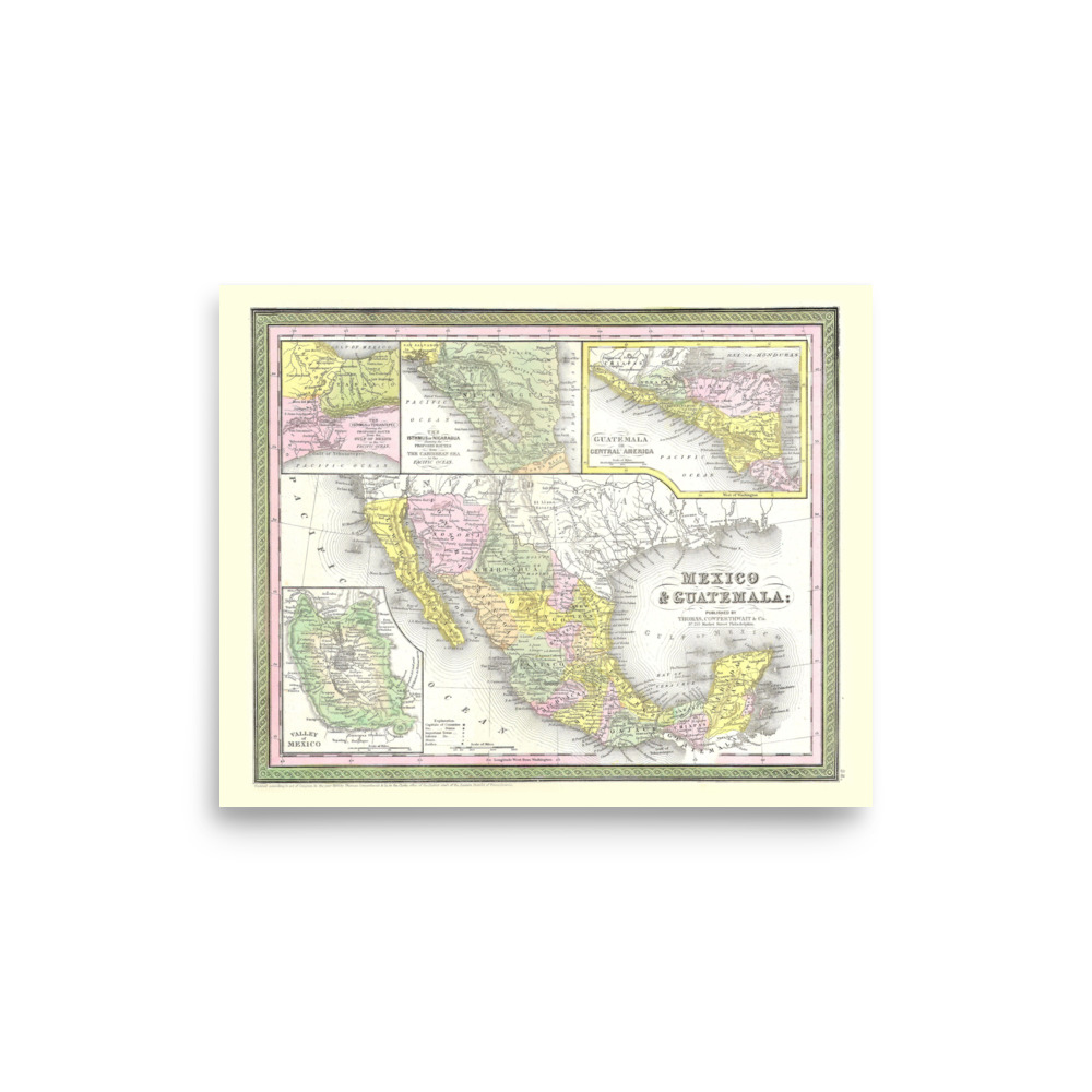
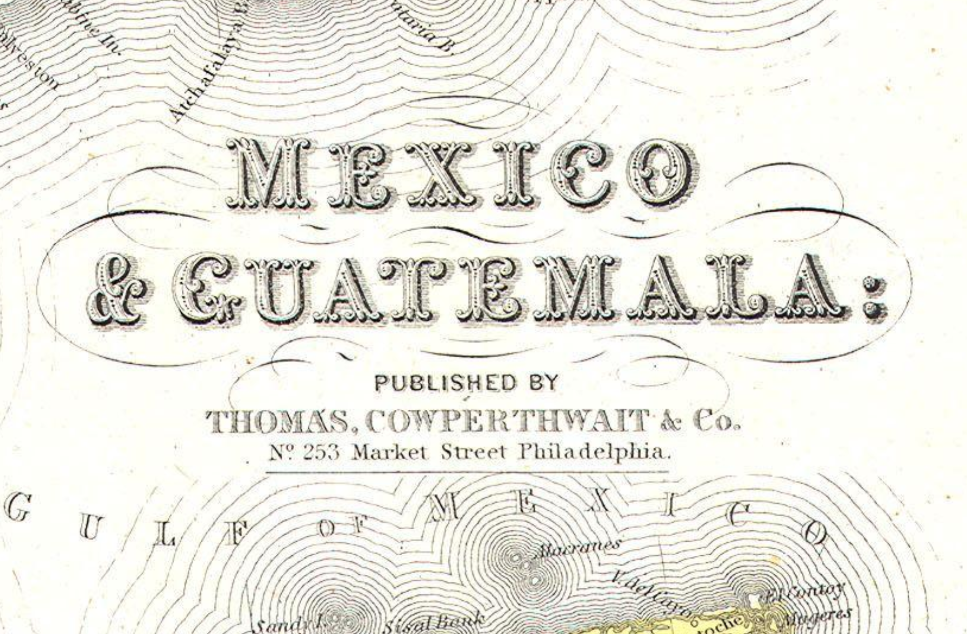
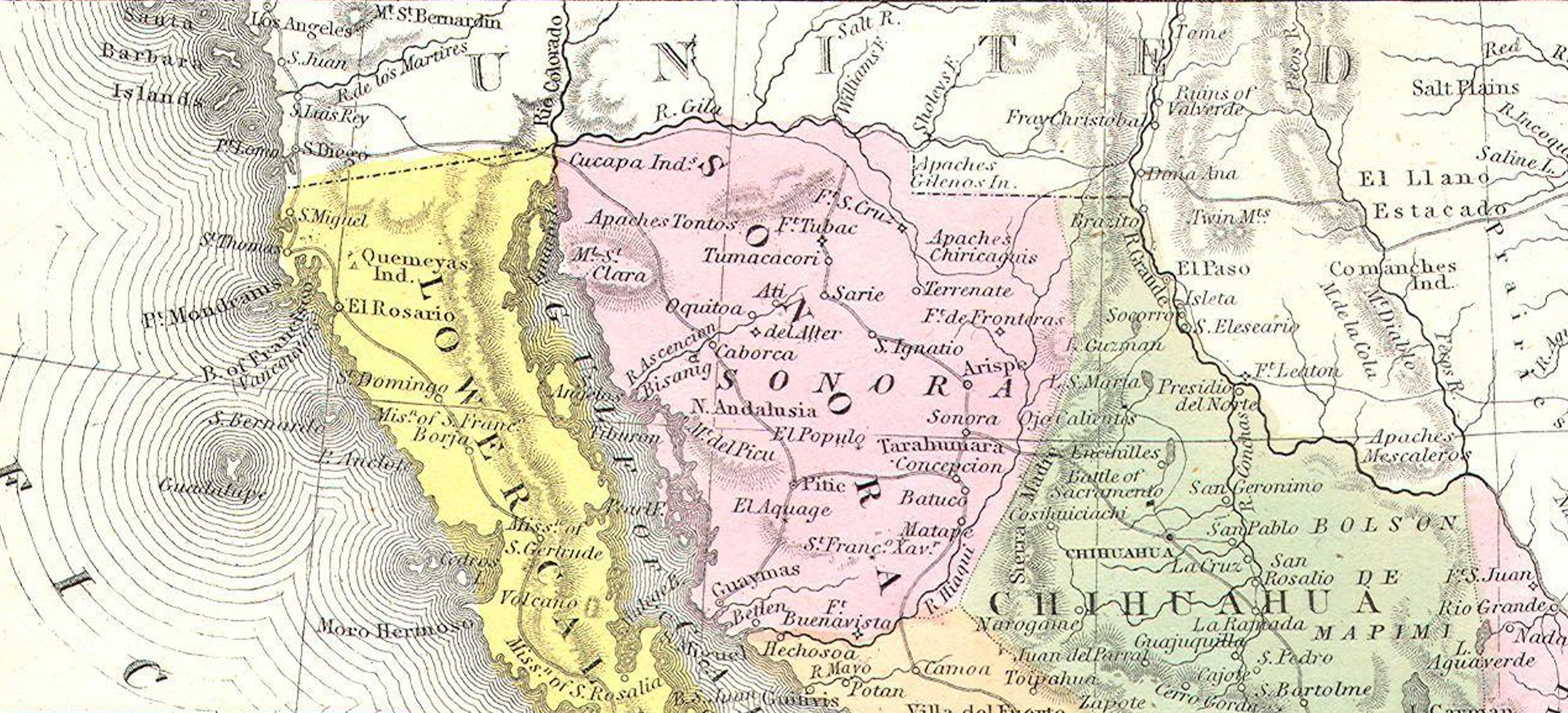
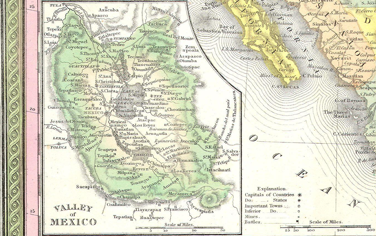
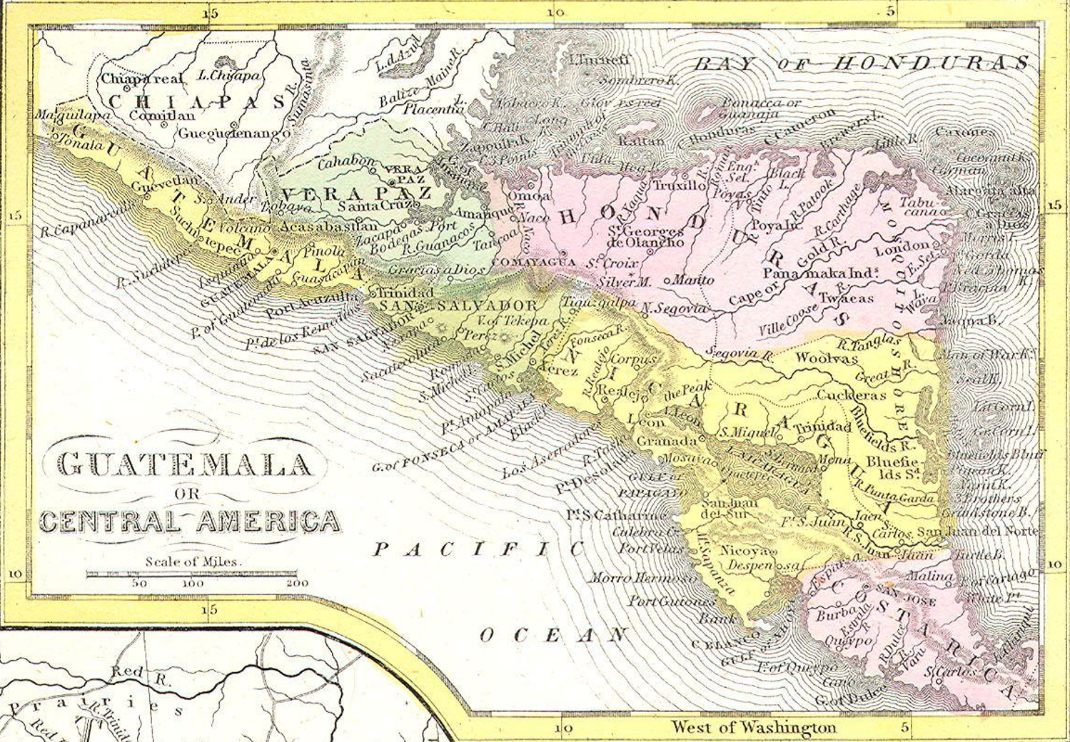
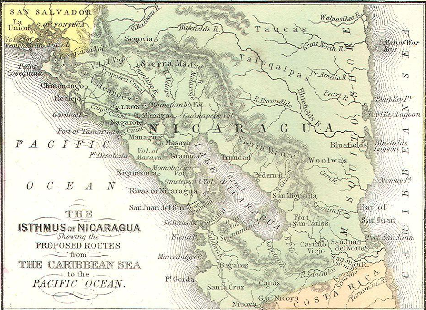
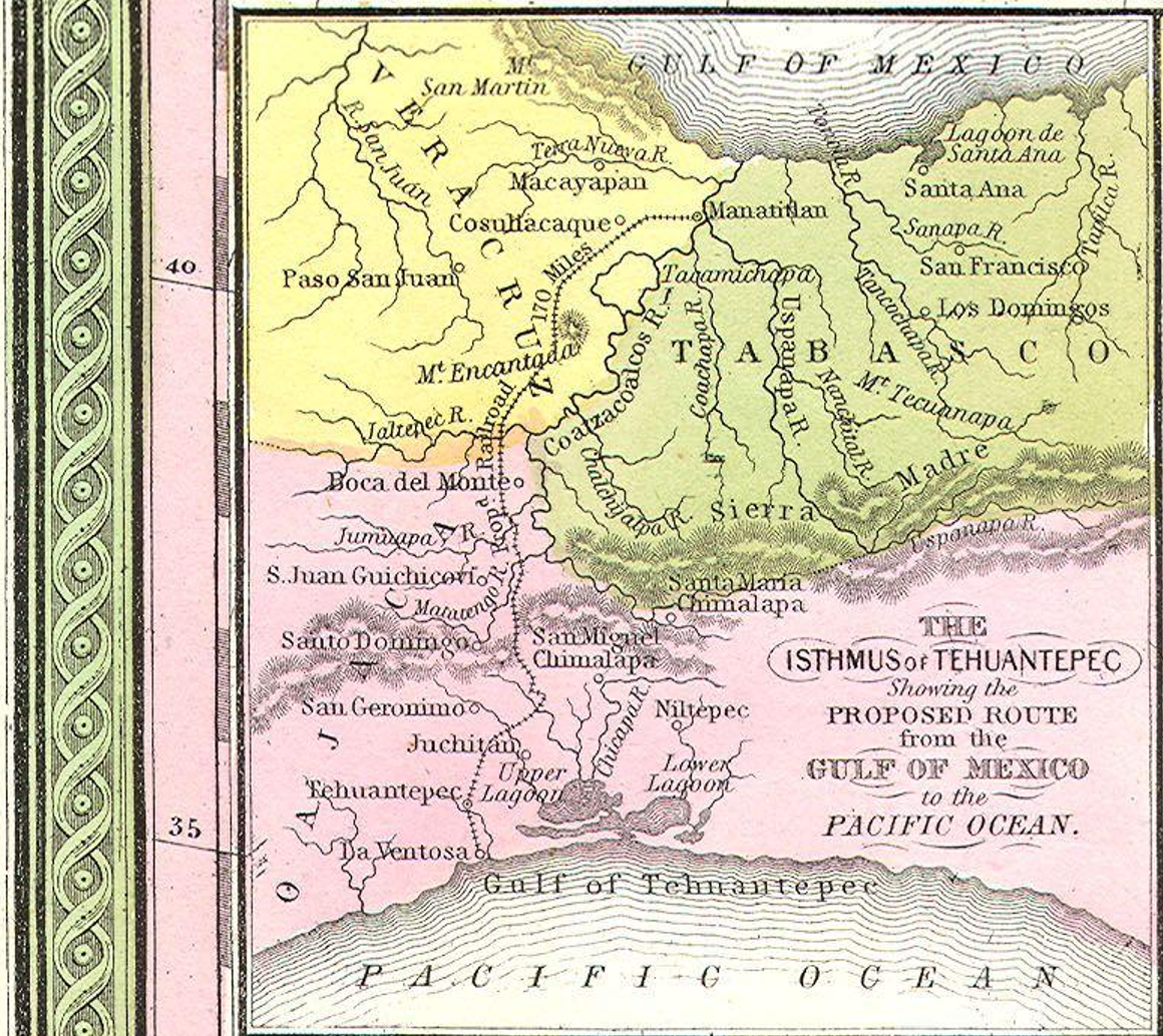
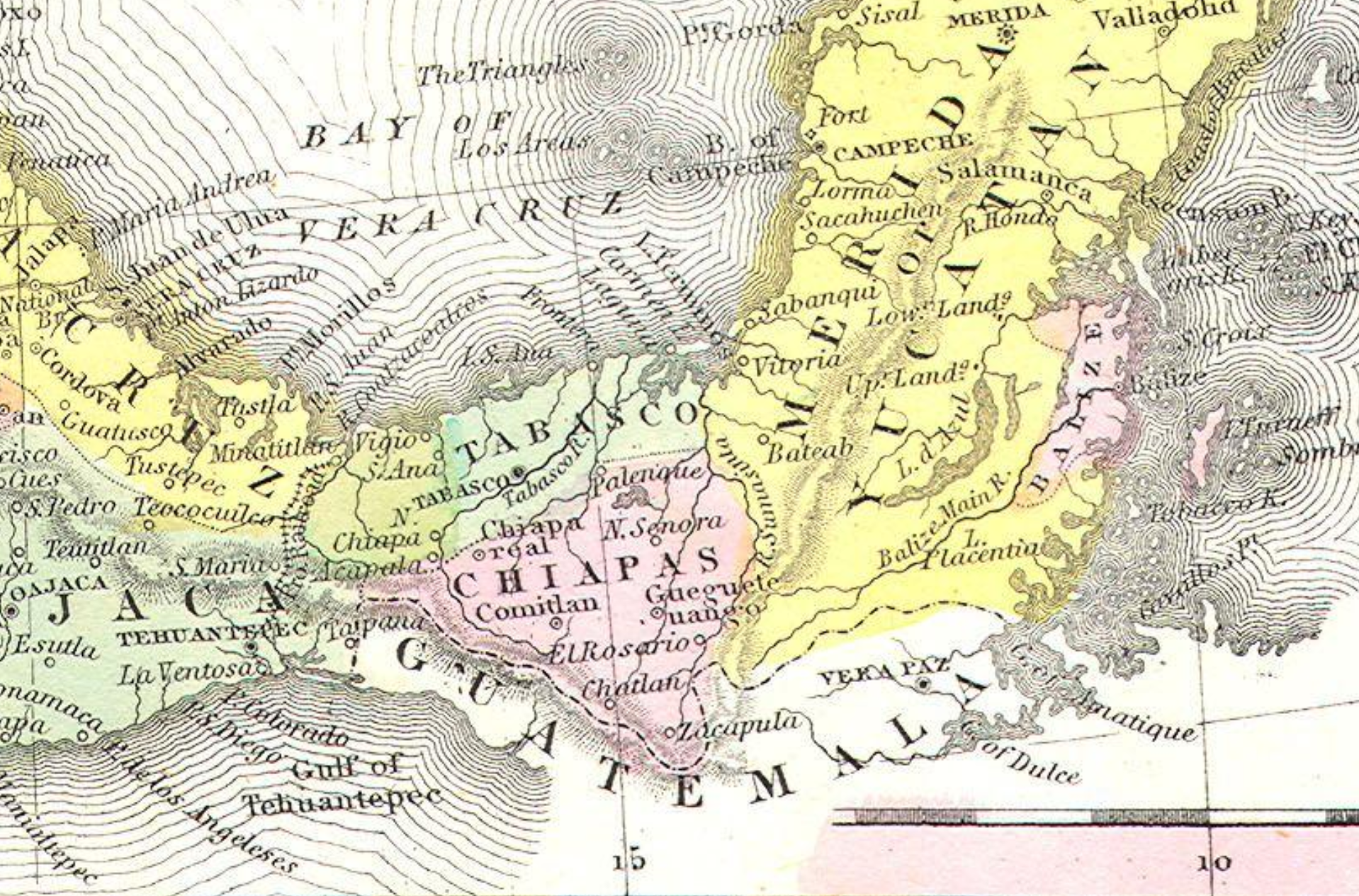
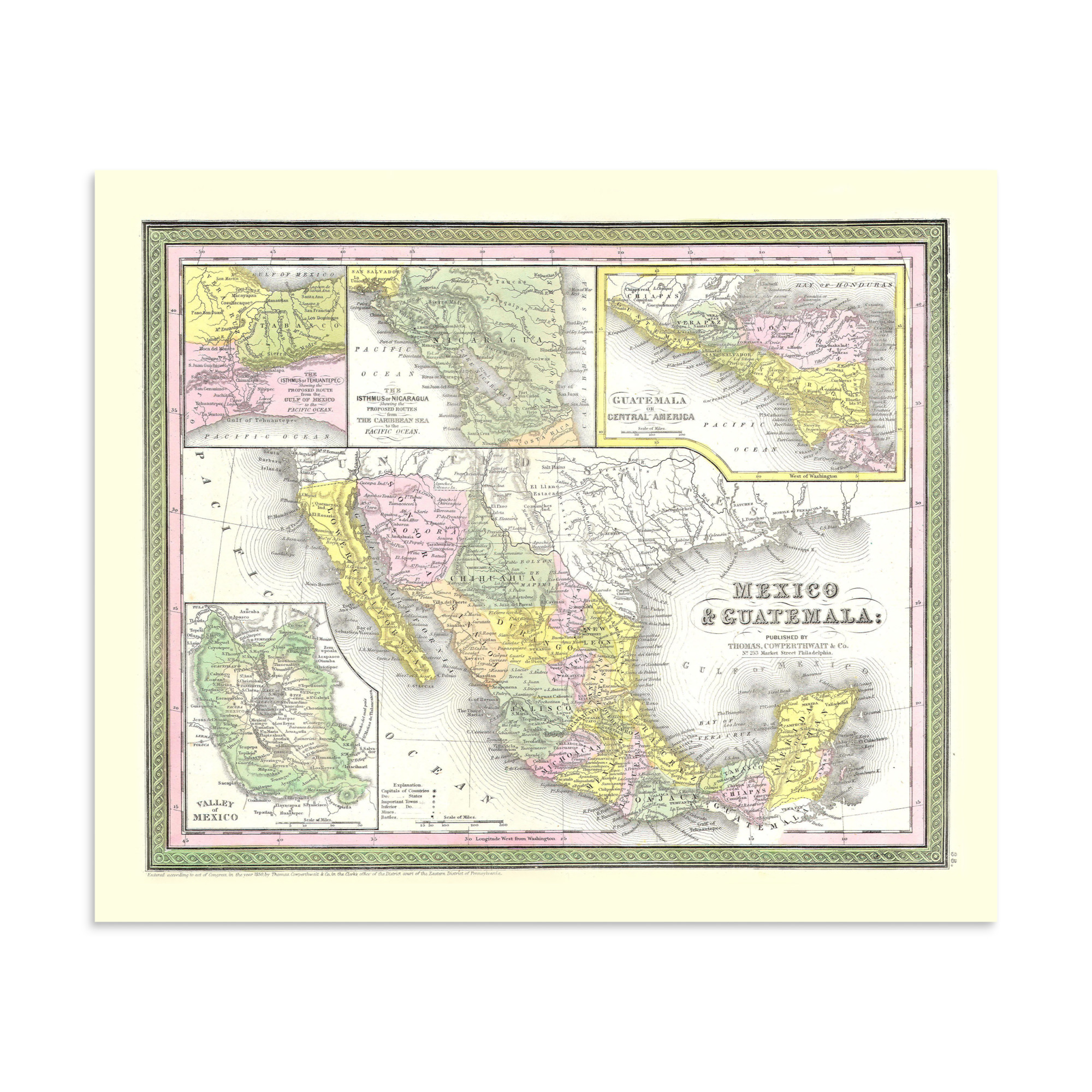
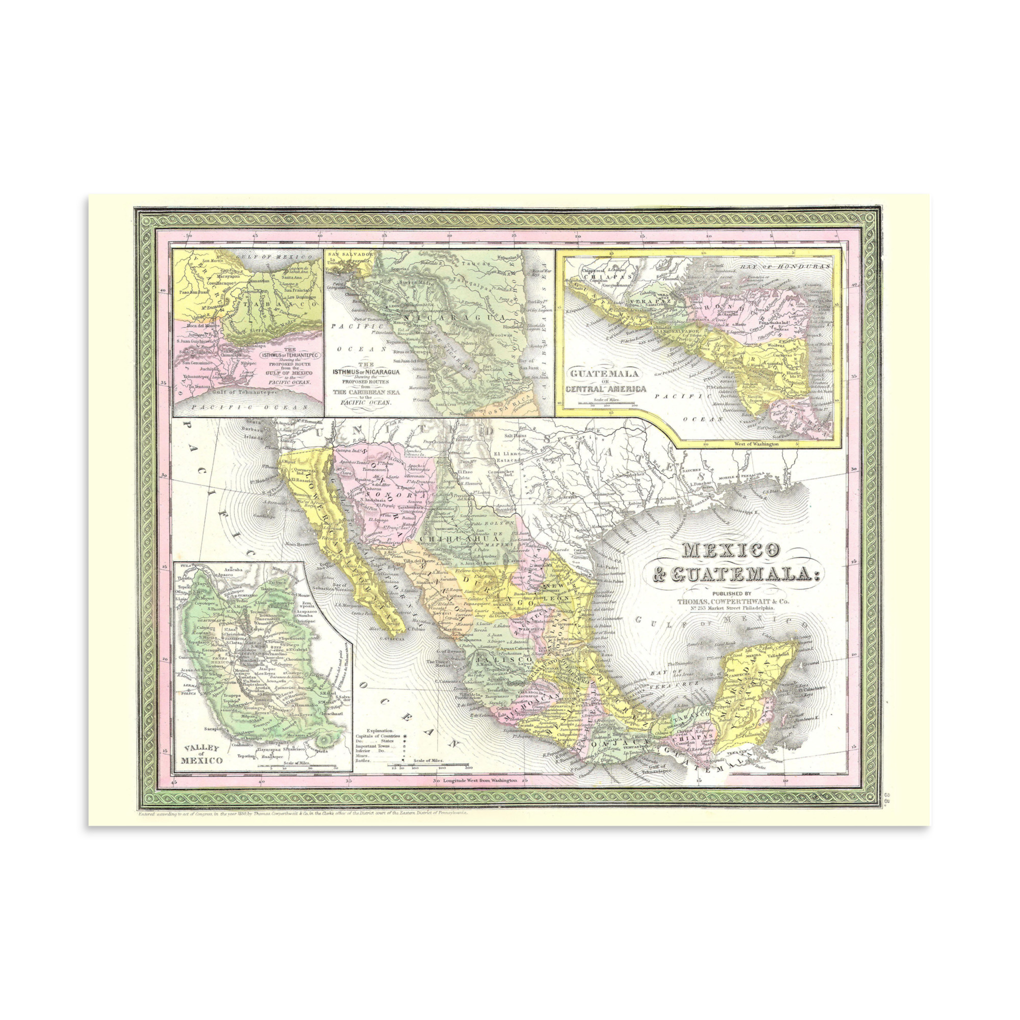
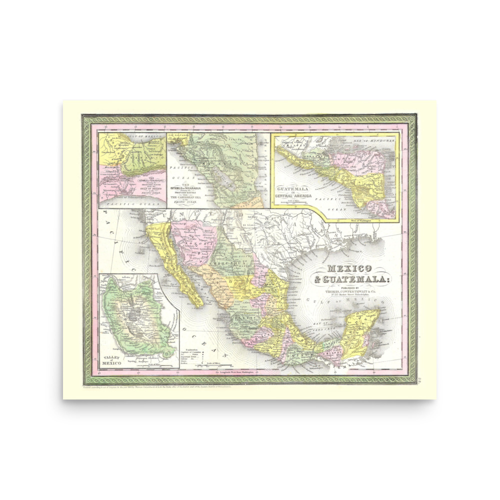
The 1850 map of Mexico & Guatemala, by Samuel Augustus Mitchell.
This map was produced well before the Panama Canal was cut in 1914, and its insets showed where cuts could be made in Panama, Mexico, and Nicaragua.
Museum-quality print on thick matte paper.
• Paper thickness: 10.3 mil
• Paper weight: 189 g/m²
• Opacity: 94%
• ISO brightness: 104%
• Paper is sourced from Japan
Reviews
There are no reviews yet.