Art
Maps
Sketches
DigiArte
Word
Publications
Translations
Public Talks
Podcasts
About
Contact
Home
>
Art
>
Maps
Maps
An Other View of Turtle Island
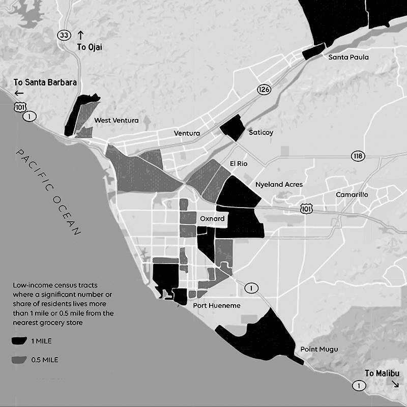
Food Apartheid in Ventura County
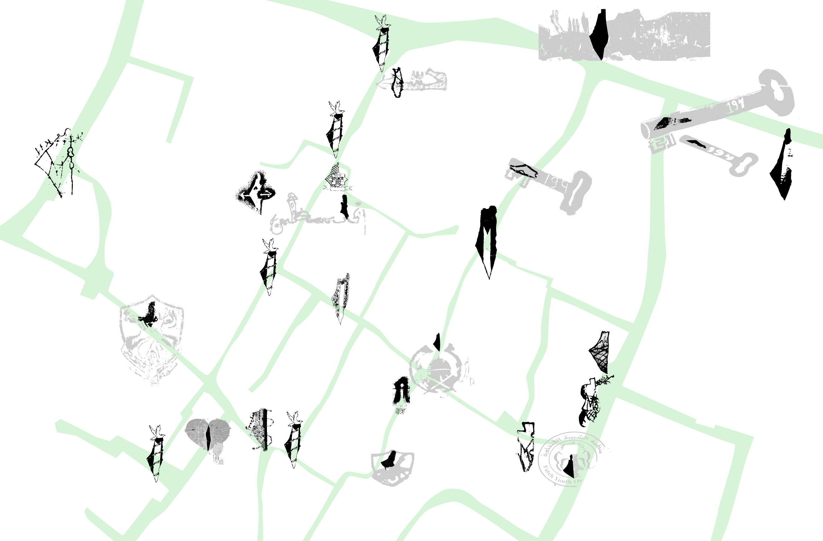
A Map of Maps (Quiquivix, 2013
)
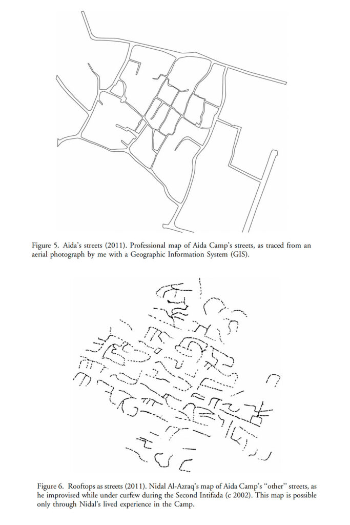
Figure 5. Aida’s Streets (2011). Professional map of Aida Camp’s streets, as traced from an aerial photograph by me with a Geographic Information System (GIS)
Figure 6. Rooftops as streets (2011). Nidal Al-Azraq’s map of Aida Camp’s “other” streets, as he improvised while under curfew during the Second Intifada (c 2002). This map is possible only through Nidal’s lived experience in the camp.
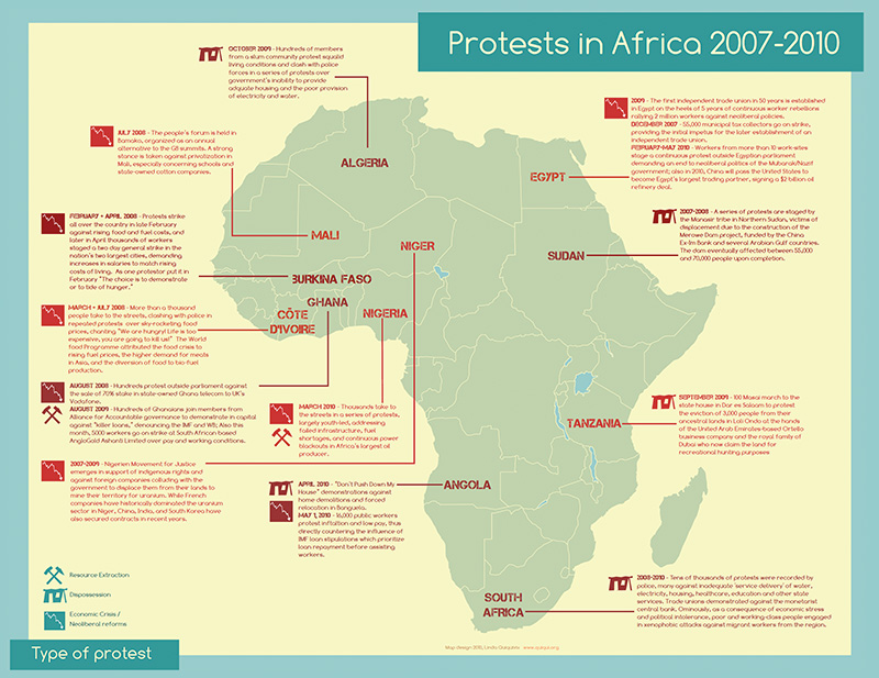
Protests in Africa 2007-2010